Thanksgiving Travel Threatened as Great Lakes Brace for Major Lake-Effect Blizzard
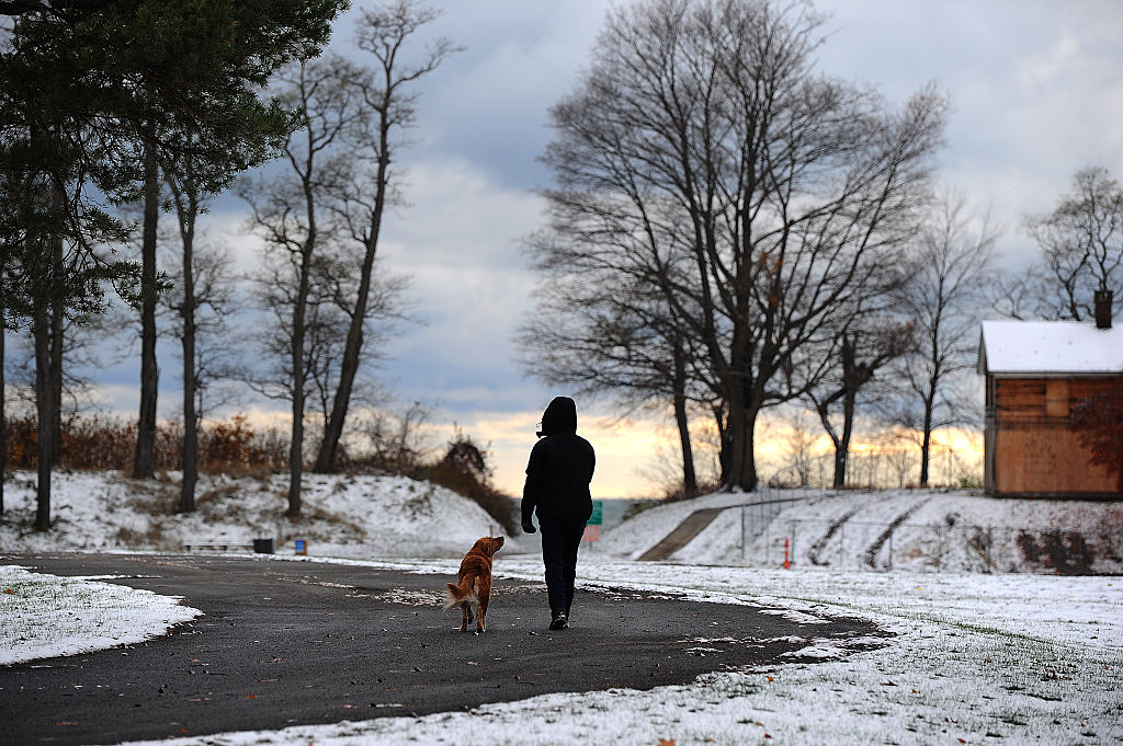
A powerful winter storm is taking shape across the Upper Midwest and Great Lakes, threatening to disrupt Thanksgiving travel with whiteout conditions, intense lake-effect snow, and dangerous winds lasting through Black Friday.
According to Fox Weather, the National Weather Service issued a Blizzard Warning on Tuesday for parts of western Minnesota and northern South Dakota, where conditions are expected to deteriorate rapidly through Tuesday night.
Forecasters with the FOX Forecast Center are tracking what they expect to be the most significant lake-effect snow event of the season, beginning Wednesday and continuing through Thanksgiving Day and into Friday.
Wind gusts hitting 50 mph are expected across Michigan’s Upper Peninsula and communities downwind of Lakes Erie and Ontario in Ohio, western Pennsylvania, and western New York.
Those winds, combined with heavy snow, could create life-threatening whiteout conditions through the end of the week.
The NWS has issued Winter Storm Watches for those areas beginning Wednesday, with most extending into Friday evening. Forecast confidence continues to grow that Michigan’s U.P. will be the epicenter of the storm, with snowfall likely to be measured in feet.
The NWS office in Marquette issued a blunt warning to residents and travelers in the region, urging people to alter holiday plans and avoid being on the roads on Wednesday and Thanksgiving Day.
Should travelers alter their Thanksgiving plans due to forecasted severe winter weather?
Support: 0% (0 Votes)
Oppose: 0% (0 Votes)
The lake-effect setup follows an initial Northern Plains system bringing rain to the Great Lakes on Tuesday. Snow is expected to be limited mostly to the Dakotas and Minnesota at first, with a possible wintry mix developing on Wednesday as the system quickly moves east.
As that moisture lifts into Canada on Wednesday, arctic air will sweep in behind it — the key ingredient for major lake-effect bands to form over Lake Superior.
Forecasters caution that the transition from rain to snow could be hazardous on its own, and the exact timing remains unclear. Travelers planning to hit the road on Wednesday afternoon are urged to monitor updates closely.
By Thanksgiving Day, lake-effect snow will be in full force. In Marquette, totals of 2–3 feet are possible through Friday, though exact amounts will depend on wind direction and where snow bands settle.
Forecast uncertainty is higher around Lakes Erie and Ontario, but computer models are increasingly aligning on a strong lake-effect setup south of Buffalo. Counties near Dunkirk and Jamestown may see the most prolonged and intense snowfall.
Winds are expected to shift on Friday, pushing snow bands farther south. Some Snowbelt communities in Ohio, Pennsylvania, and western New York could end up with a foot or more by the end of Black Friday.
Holiday travelers across the region are encouraged to check conditions frequently — and, if possible, stay off the roads entirely during peak snowfall.