Super Typhoon Becomes 'Gargantuan' As It Rolls Toward China, Taiwan
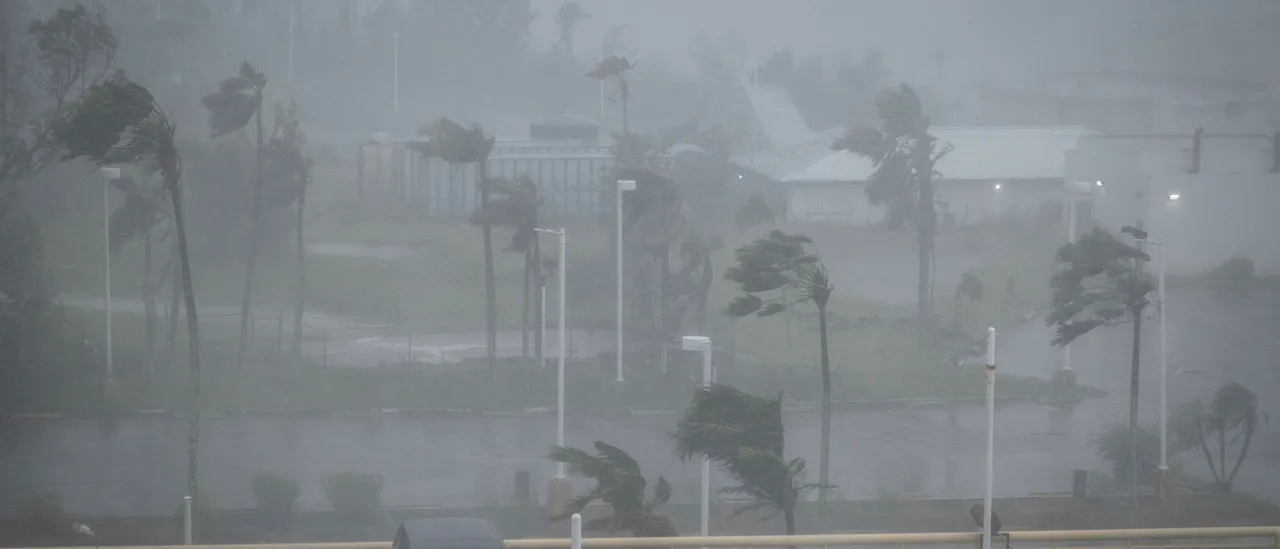
An eyewall replacement cycle has impacted Super Typhoon Bavi, expanding the wind field and growing the typhoon to a size the U.S. Joint Typhoon Warning Center described Thursday as “gargantuan.”
The wind field of Bavi is in the top three percent of all typhoons in the Western Pacific in the last 10 years, according to the FOX Forecast Center, though the maximum sustained winds of the storm have gotten weaker since its expansion. (RELATED: Strengthening El Niño Suppressing Tropical Development, Officially Puts Atlantic Hurricane Season Behind Schedule)
Experts expect Bavi to continue weakening, graze northern Taiwan, and make landfall in China by Saturday, likely causing flash flooding and landslides.
Bavi hammered U.S. territories Guam and the Northern Mariana Islands on Monday afternoon, unleashing 180mph winds that caused widespread power outages, the forecast center reported.
🌀HISTORIC TYPHOON: Typhoon Bavi has undergone an eyewall replacement cycle, expanding its wind field into what the U.S. Joint Typhoon Warning Center is calling a “gargantuan” typhoon. Latest on the monster storm: pic.twitter.com/HqY4FNpRWs
— FOX Weather (@foxweather) July 9, 2026
Guam’s airport recorded a record-breaking 12.64 inches of rainfall and a top wind gust speed of 111mph, the outlet noted.
Neither Guam nor the Northern Marianas reported any deaths.